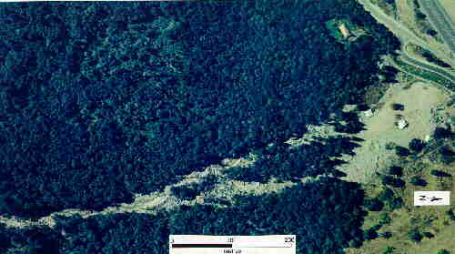
Aerial Photograph of Deposits
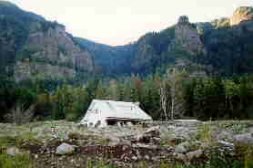
The Royse House
The lower floor was completely filled with debris from the early flows. These flows entered through windows and did not do much structural damage to the house. The last major flow to cover part of the fan destroyed the west wall of the house.
The source of the debris flows is the canyon above the house. The boulders in the deposit are of High Cascade Andesite. The cliffs are in Columbia River Basalts. The andesites crop out above the basalts.
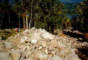
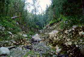
Photo 1
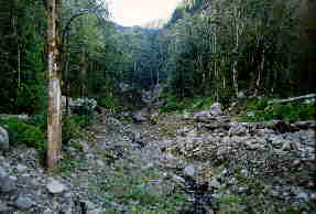
View up the channel from near the up-slope end of the map. The debris was channelized about 1.2 km further upstream (see aerial photograph and photograph D). This is the point where the flows began to form several channels.
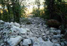
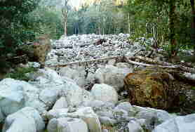
Photo 2
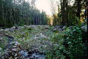
View down the west channel. Here there are well-developed levees containing large andesite boulders. The boulders are weathered on all surfaces. The surfaces are often striated and contain few chips. Only 1 or 2 percent of the boulders have been split in half. An old concrete cistern can be seen on the left side of the channel. The roof of the cistern was found about 20 m further downstream.
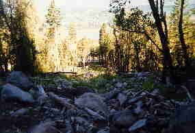
Photo 3
View along a levee at the top of the east channel. This levee formed after flows had moved down the east channel by flows moving down the west channel. Ansel Johnson for scale (Ansel is about 1.93m tall).
Photo 4
View looking down the upper part of the east channel. Photograph 5 is a view looking up towards the camera position for this photograph. Note the large pillow basalt boulders (Columbia River Basalts). The majority of the boulders are High Cascade Andesites.
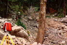
Photo 5
View of the lower part of the east channel from about the mid-point of the map. The channel is bounded by well-developed levees. Note that many of the trees on the edge of the channel are missing limbs on the channel side. Trees felled by the debris flows probably stripped off the branches. Obstacles such as tree stumps stopped many large boulders in the channel.
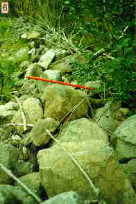
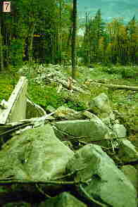
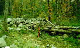
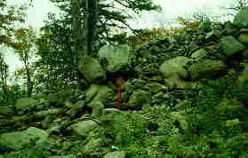
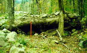
Photo 6 & 7
Views of the westernmost levee near the cistern. The orange leveling rod bag is about 1.5 metres long. Photo 6 shows the size of the andesite boulders in the levee. Note that the boulders are fairly well rounded and weathered on all surfaces. There is little chipping of the boulders. In Photo 7 the roof of the cistern is just downstream from the leveling rod. Note the absence of a levee just downstream from the cistern.
Photo 8 to 11
These photographs illustrate the importance of trees in constructing levees and in stopping large boulders in the channel. Pairs of levees often formed on either side of obstructions within the channel. Where there are tree jams in a levee (photos 8 and 11) there is usually little or no levee development downstream of the jam. In other places (photo 10) an old tree-stump was capable of stopping large boulders in mid-channel. The orange leveling rod bag is about 1.5 metres long.
Upper part of the east channel
View looking south, up the east channel. The large dead tree 1/3 of the way in from the left (east) edge of the photograph is the same tree as in the middle of the next photograph showing the single channel at the head of the fan. The main channel runs behind the trees on the right (west) side of the photograph.
The light-colored boulders are of the High Cascade Andesite. The dark boulders are pillow basalts from the Columbia River Basalts. The large basalt boulder on the right side is about 3 m high.
Single channel at head of the fan
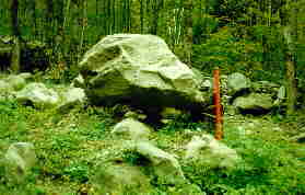
The large boulder in the center of the channel is about 3 m high (see photograph below). The tree in the center of the photograph shows extensive scarring.
Large boulder in channel
The rod resting against the boulder in 3 m long.
